Description
Traditional methods of aerial data collection are often costly, inefficient, and limited by technology, making scalable, high-resolution data gathering a challenge across industries This limits industry like agriculture, urban planning, and environmental monitoring from accessing the timely, precise, and comprehensive data needed for informed decision-making and efficiency
Clicker introduces Click-Air, a pioneering solution combining advanced UAVs with state-of-the-art AI processing, designed to deliver scalable, cost-effective, and precise aerial data collection. Click-Air stands out by providing detailed, actionable insights with unmatched efficiency and at a fraction of the traditional cost, making large-scale aerial data accessible to a wider range of applications.
WHAT WE ARE SOLVING FOR
- Remote sensing technologies
- Data integration & accuracy
- Limited resources
- Illegal logging and activities
- Biodiversity monitoring
- Climate change impacts
SOLUTION OVERVIEW
UAV
Capabilities
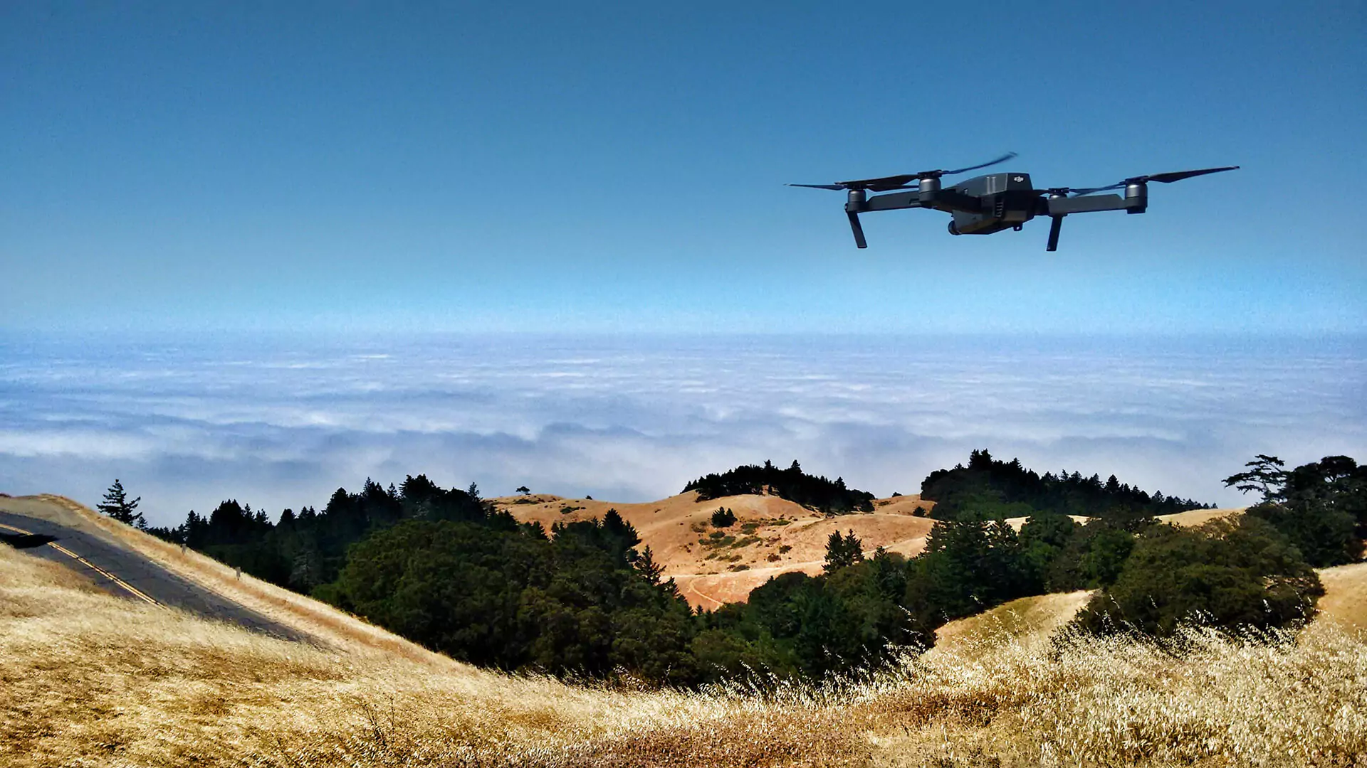
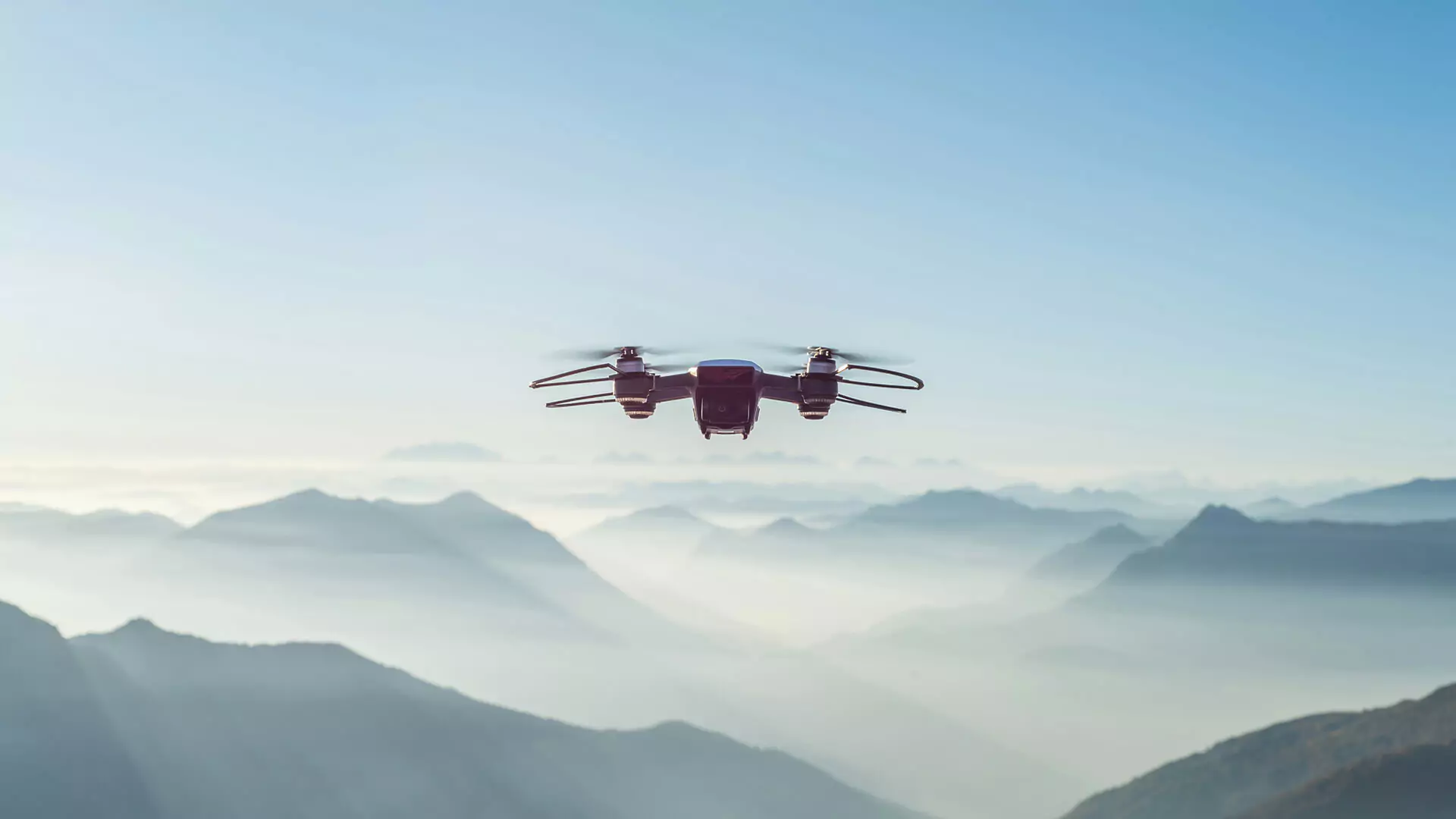
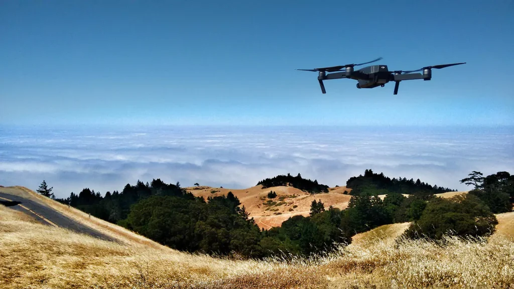
Click-Air drones are engineered for performance, capable of extensive flight times and equipped with versatile sensors to capture data across vast areas.
AI
Algorithms
Our proprietary AI algorithms analyze the aerial footage in real-time, offering precise analytics for object recognition, change detection, and predictive insights.
Facilitated Integration
The seamless integration between Click-Air UAVs and AI processing delivers a comprehensive data solution adaptable across industries, from agriculture to urban development.
Enhanced
Traceability
Allow for the tracking of evolution over time and ease the retrieval, management, and archiving of key data.
KEY APPLICATIONS
- Maintenance of Power Distribution Networks: Advanced software solutions for predictive maintenance of power distribution networks enable timely detection of potential issues, minimizing downtime. Additionally, real-time monitoring supports swift interventions, ensuring a reliable and efficient energy supply.
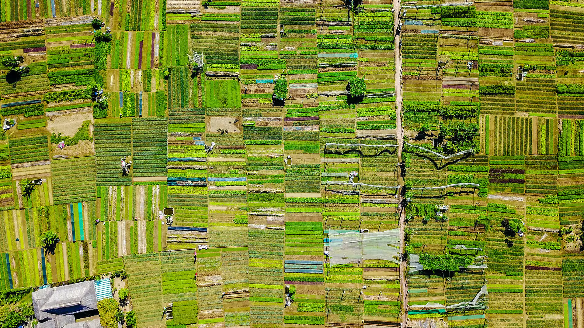
- Precision Agriculture: Monitoring crop health, estimating yields, and
managing resources efficiently. - Urban Planning: Assisting in the development of infrastructure, urban
expansion, and traffic management - Environmental Monitoring: Tracking changes in ecosystems, deforestation,
and pollution levels. Monitoring animal populations and habitats to aid
conservation efforts - Disaster Response: Providing real-time data for natural disasters like floods, fires, and hurricanes for quicker response. Rapid assessment of damage after disasters for accurate claims processing.
- Forestry Management: Assessing forest health, timber volume estimation, and detecting illegal logging activities.
- Coastal Monitoring: Analyzing shoreline changes, coastal erosion, and managing marine ecosystems.
- Renewable Energy: Inspecting solar panels and wind turbines for
maintenance and optimal placement. - Oil & Gas: Pipeline surveillance, infrastructure inspection, and environmental compliance monitoring.
- Mining: Site planning, operation monitoring, and environmental impact assessment.
- Construction Site Monitoring: Tracking progress, resource management, and safety inspections.
USE CASE 1 – MONITORING OF ELECTRICAL-DISTRIBUTION NETWORKS
CASE FOR CHANGE
1. Economic Consequences:
• Increased downtime and outages
• Higher maintenance mode
• Regulatory compliance issues
• Economic disruption (business, schools, transportration)
2. Environmental Impacts:
• Pollution
• Resource waste
• Increase vulnerability to natural disasters (e.g., fires)
3. Social Impacts:
• Public safery concerns
• Disruption of essential services
• Community resilience and preparedness
• Trust in public services
INPUTS, PROCESS, & OUTPUTS
Automated image capture with
High-Resolution Drone
Live feed and historic data extraction and analysis
Perform Change Management Analysis
by comparing historic to actual data
Alert accountable individuals of significant changes
for human validation and intervention
USE CASE 2 –MONITORING RESERVES CHANGES
CASE FOR CHANGE
1. Economic Consequences:
• Loss of revenues from tourism
• Reduced natural resources
• Protection enforcement expenses
2. Environmental Impacts:
• Invasive non-native species
• Biodiversity loss
• Temperature changes
• Increase vulnerability to natural disasters (e.g., floods)
3. Social Impacts:
• Ecotourism reduction
• Indigenous communities impacted: loss of resources and need for relocation
INPUTS, PROCESS, & OUTPUTS
Automated image capture with
High-Resolution Drone and sensors (e.g., thermal, polution)
Live feed and historic data extraction for key measurements
such as animal movement/density monitoring
Perform Change Management Analysis
by comparing historic to actual data
Alert accountable individuals of significant changes
for human validation and intervention

USE CASE 3 –FOREST FIRE MANAGEMENT
CASE FOR CHANGE
1. Economic Consequences:
• Loss of revenues from tourism
• Mitigation measures costs
• Damaged infrastructure expenses
2. Environmental Impacts:
• Loss of biodiversity
• Soil degradation
• Climate changes contribution (e.g., CO2 emissions)
• Water and air quality impacts
3. Social Impacts:
• Human health and safety
• Agriculture/Food source impacts
• Health impacts (e.g., respiratory issues)
• Tourism industry impacts
INPUTS, PROCESS, & OUTPUTS
Automated image capture with
High-Resolution Drone
Live feed analysis to lookout for smoke, fire for
early detection of a forest fire
If fire detected, perform predictive analysis on the speed,
spread, and direction of the forest fire to contain it
Track and monitor the evolution and mitigation of the
fire without human ground intervention

